Creeks

Friday, November 27, 2015

Point Lobos State Natural Reserve

The jewel in the crown of California's State Park system - Point Lobos is famous for its breathtaking two mile coastline that offers to the visitor 
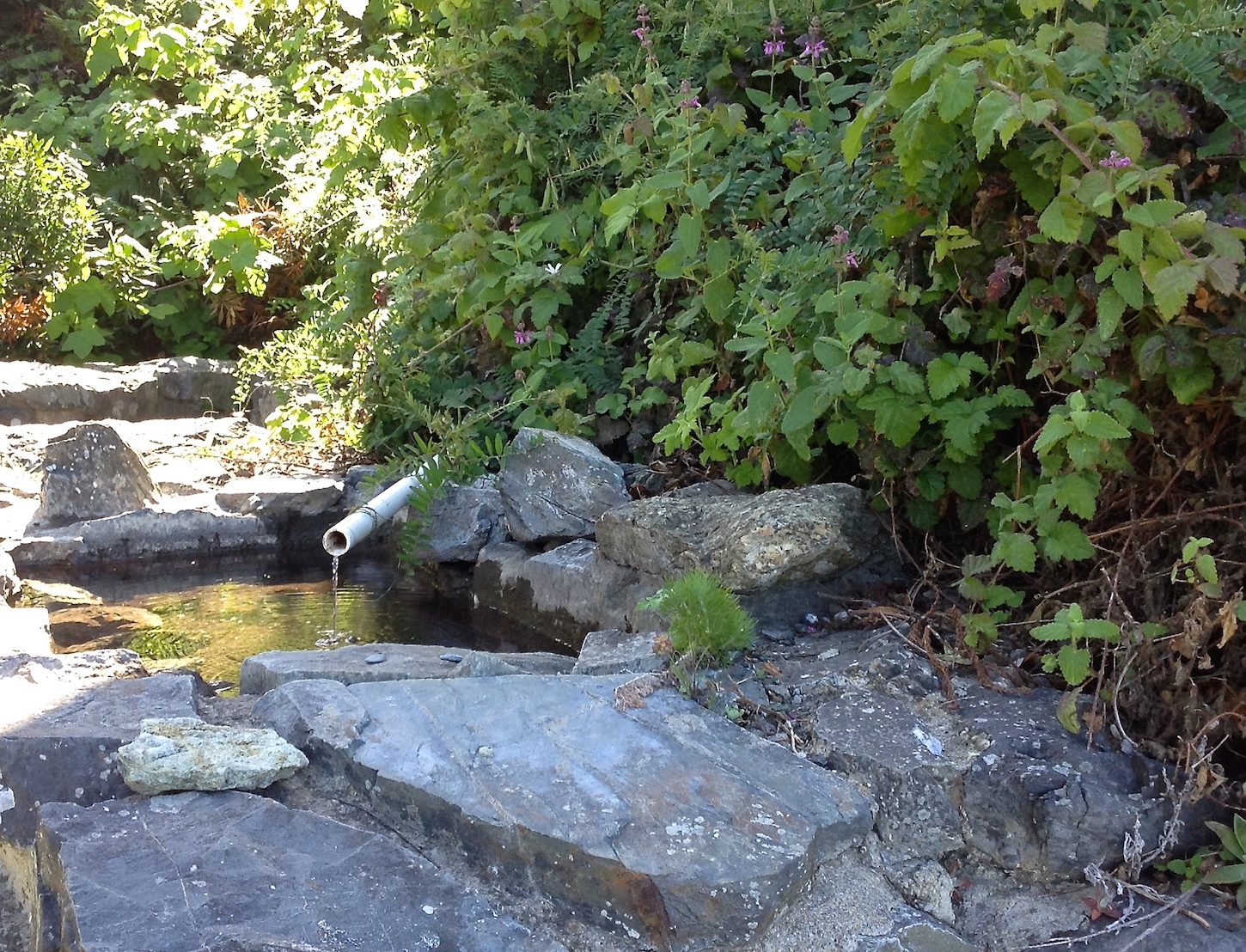
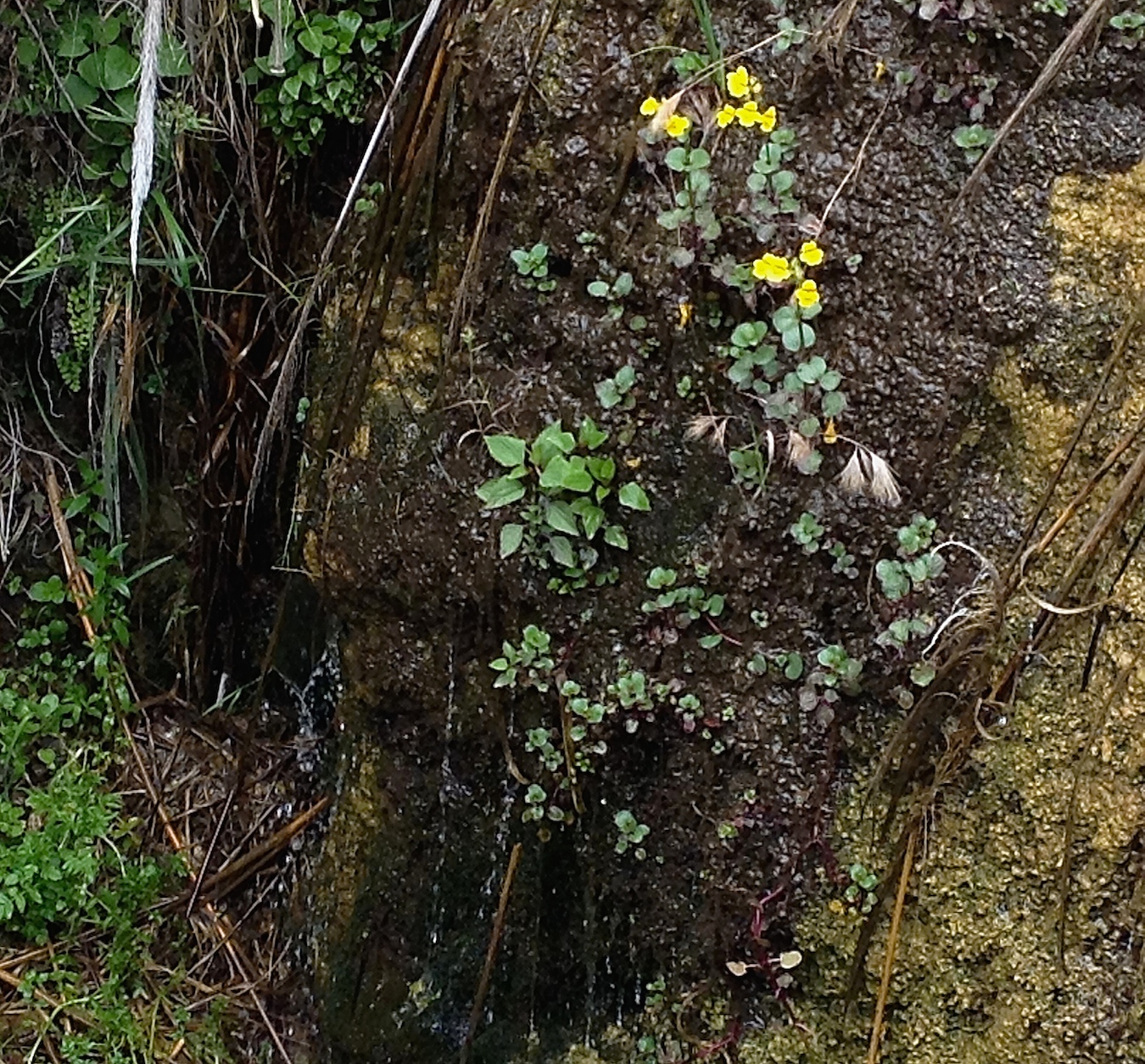
views of beautiful coves and mysterious caves, an abundance of spring wildflowers, nesting birds on offshore rocks, otters and seals, and dramatic Cypress trees precariously perched on rugged rock formations.  Point Lobos is a nature lovers paradise.
A United States Natural Landmark, Point Lobos is located about three miles south of Carmel on Highway One.  Hours are 8 to a 1/2 hour after sunset, fee $10, seniors $9.  A map with in-depth information on the reserve and the trails is available at the entrance kiosk for $2.  Trail maps can also be found at http://pointlobos.org/planning-your-visit/trail-maps 
After you enter the reserve, the first road on your right takes you to Whaler's Cove and Whalers Cabin Museum (above).  The Museum holds a wealth of historic information.  The abalone diver (below) is one of the fascinating artifacts found in the Cabin Museum which is staffed with friendly and informative docents.
The parking/picnic area, left side of photo, down the slight hill from the cabin, was the location the "Point Lobos Canning Co." where abalone was canned from 1899 - 1928.  (photo - Whale's Cove and distant Carmel Cove) 
Whaler's Cove is extremely popular with divers. 
The offshore waters are one of the richest underwater habitats in the world.  Scuba and free diving is by permit only - for reservations go to http://www.parks.ca.gov/?page_id=28353

Straight ahead from the entrance kiosk (.5mi.) is the Information Station (below) and parking area for five trails, South Shore, Sand Hill, Sea Lion Point, Cypress Grove, and North Shore.  
All but three of the 15 trails in the reserve are less than a mile.  The North Shore Trail is the longest at 1.4 miles one way; it is suggested for the more agile walker; a few trails are totally accessible.  Every trail leads to a scenic view.   (below - view from Sea Lion Pt. Trail)
Bird Island Trail (below), one of the premier trails in the reserve, is totally accessible.  Views from the trail include secluded coves, spring wildflowers, and bird rock which in the spring hosts thousands of nesting birds such as Brant Cormorant, American Oystercatcher, Black-crowned Night Heron, Black Oystercatcher, and Western Gull. 
The above photo of Bird Island which, in the springs is dense with nesting bids, was taken from the Bird Island Trail.  The trail is fully accessible, round trip, 1.4 miles.

Whale watching - Gray Whale - 40-50 ft. - 34-40 tons.  In December Gray Whales begin their migration to Mexico; their return trip begins in February.  Viewing is best when they head north, as the mother and calf hug the coast to avoid the killer whale.  Humpback Whale - 40-52 ft. - 30-50 tons -  summer through fall.  Blue Whale - 75 - 80 ft - 110 tons.  Occasionally from July through Sept. 

Point Lobos offers drama, beauty, solitude, and peace and is the Jewel in the State Parks Crown. 


Monday, June 8, 2015

Hetch Hetchy

Hetch Hetchy is the name of a valley, a reservoir, and a water system.  The valley is located northwest of Yosemite National Park.  Connecting Hetch Hetchy to coastal California is a 175 mile system that brings San Francisco and nearby municipalities their primary source of water and power.  John Muir, a naturalist and conservationist, with the support of the Sierra Club, fought a gallant, yet losing battle to protect Hetch Hetchy Valley from ruination by the city of San Francisco. 
 After the 1906 earthquake San Francisco was desperate for a reliable source of water and power.  In 1913 Congress passed an act authorizing construction of a dam.  The O'Shaughnessy Dam, named after the engineer who oversaw its construction, was completed in 1923.  Between 1935 and 1938 the dam was raised 85 ft to increase its capacity.  

Included in the construction was a 500 ft tunnel, cut through solid granite.  One must go over the dam and through the tunnel to reach the popular trail that leads to Wampa Falls.  I can testify the tunnel is dark and very wet, as the roof and walls drip continually.  The photo is not the best quality, but it does illustrate this fascinating tunnel.  The only way to avoid the pools of water is to walk close to the wall and hope for the best.  

Have no fear there is light at the end of the tunnel.
 The Tuolumne River, a primary source of the water for the reservoir, flows down Wampa Falls.  (photo, center left)  I did attempt the walk to Wampa, but due to a change in weather and the time of day, and facing a four hour drive over the death defying Hwy 49 to my night's lodging (I am not exaggerating),  I turned around.
 The reservoir is eight miles long; when full it has a capacity of 360,400 acre ft.  An acre foot is equivalent to 325,851 gallons.  Down stream, the three associated power plants produce 1.6 billion kilowatt hrs a year.   Now, be sure you are sitting down when you read this - To use the Hetch Hetchy Valley as a reservoir, San Francisco pays an annual fee, set by law in 1913, of $30,000.  (A one bedroom apartment in San Francisco goes for $2,500 a month or $30,000 a year.) 

The Sierra Club continues to support the restoration of the Valley.  Sierra Club founder John Muir called Hetch Hetch Valley,"a grand landscape garden, one of Nature's rarest and most precious mountain temples."

Map of the Hetch Hetchy project is from Wikipedia.


Tuesday, April 28, 2015

Big Sur Drinking Fountains Revisited

With Phoebe Adams as navigator and note taker, we headed north on Highway I to see if the current drought was affecting the Historic Fountains.  Much to our delight Soda Springs, the first fountain going north, (above Photo) was lush; spring water flowed cheerfully through the vegetation. The fountain actually sparkled; this little hidden roadside oasis had been cleaned of weeds and rock debris.   --  Link to original posting on The Big Sur Drinking Fountains  -    http://mycoastalcalifornia.blogspot.com/2014/08/big-sur-drinking-fountains-snippet-of.html

We only hesitated at Big Redwood, as it lacks water, and one must slosh through a wet area to reach the fountain remnant.   Big Redwood is the only fountain that is not directly on the road.
A surprise awaited us at Willow Creek/Seven Stairs - Spring water was flowing into a pool.  A benefactor had trimmed the weeds and connected the pipes (above photo).  Native plants were numerous.  The plant with the tiny white flowers is Thimble Berry.  The plant with the lavender flowers is Hedge Nettle.  The Willow Creek Fountain is seven steps above the road, has a great view and a picnic table that is patiently waiting for a picnic.
The Lucia Fountain had also been tidied.  Perhaps the Highway maintenance crew had adopted the fountains.  Spring Water was flowing into a culvert.  Yellow Seep Monkey-flower was a definite day brightener. 

We did not stop at the Rigdon Fountain, as it lacks water, and to reach it one must cross Highway One near a blind curve (no thank you).  We could see that it had been weeded and cleaned.

The historic fountain saga may yet have another chapter.  Originally there were six fountains; the missing fountain was thought to have disappeared in one of the many landslides.  On our way home, somewhere between Nepenthe, the famous Big Sur restaurant, and the Torre Canyon Bridge, I thought I saw fountain rock work.  To quote A. Schwarzenegger, "I'll be back!" 

Sunday, February 1, 2015

San Francisco Fisherman's Wharf Hostel


The San Francisco Fisherman's Wharf Hostel, housed in historic buildings on the grounds of Fort Mason, offers to travelers reasonably priced accommodations with million dollar views of the awe inspiring Golden Gate Bridge and the infamous island prison of Alcatraz. (Photo below)

Foot/bike paths lead from the Hostel to Ghirardelli Square, Maritime Park, Golden Gate Bridge, bike rentals, and public transportation. Once you arrive, I highly recommended not driving, as finding a parking space in the City is nearly impossible. 


Friendly front desk clerks have a wealth of information to share.  All you have to do is ask. Rates vary as to the number of individuals per room.   Private rooms range from $75 - $109.  The $40 room I was in held 8 females in 4 bunk beds.  Under each bunk were roomy storage compartments.  Be sure to bring a padlock.
Cafe Franco, the on-site eatery with a view of the bay, offers 3 meals a day plus a substantial complimentary breakfast that includes excellent coffee.  I can testify that Cafe Franco's hand made pizza was excellent. 
On the main floor was a spacious common room with comfortable seating and ample outlets for recharging electronic devises.  The shared kitchen, on the lower level, was large and well equipped, including refrigerators, freezers, storage shelves, and pots and pans of every imaginable size - everything one might need to prepare a meal, large or small. The three man in the photo were eating a stake dinner they had just prepared.

So very different from conventional lodging where the norm is not speaking to anyone.  I had conversations with a delightful, 20 year old male from Australia,  a vet's assistant from Great Briton, a professional biker from San Diego, a homesick young woman from China, and a retired couple from New Zealand that we're having the time of their lives.

The S. F. Fisherman's Hostel http://www.sfhostels.org/fishermans-wharf/rates
 offers more than a reasonably priced room and a complimentary breakfast.  It offers an adventure in lodging that I guarantee will be a memorable experience.